

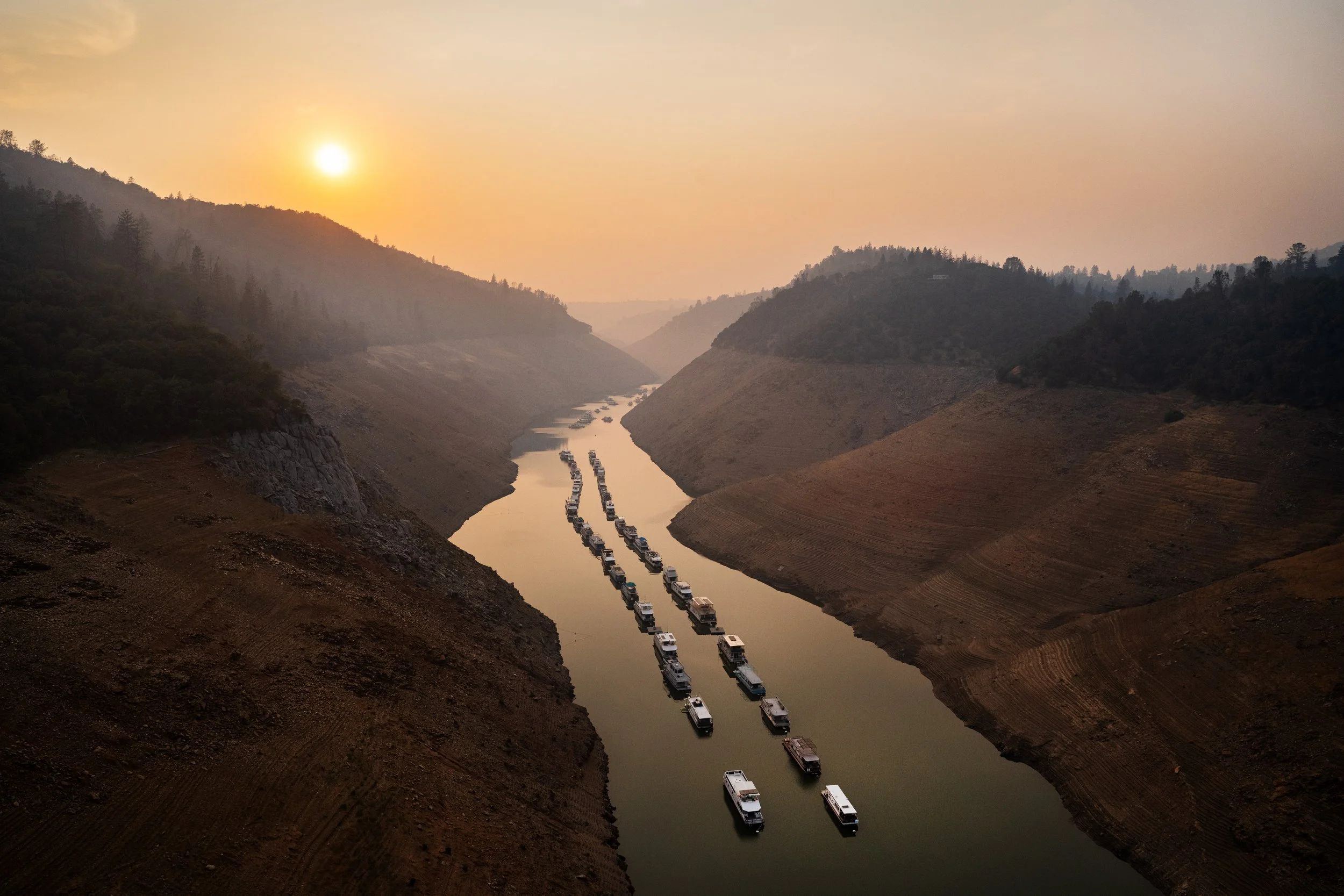
Pre-Pilot and Beta testing fall 2026 on iOS for carriers, IAs, and contracted CATs.
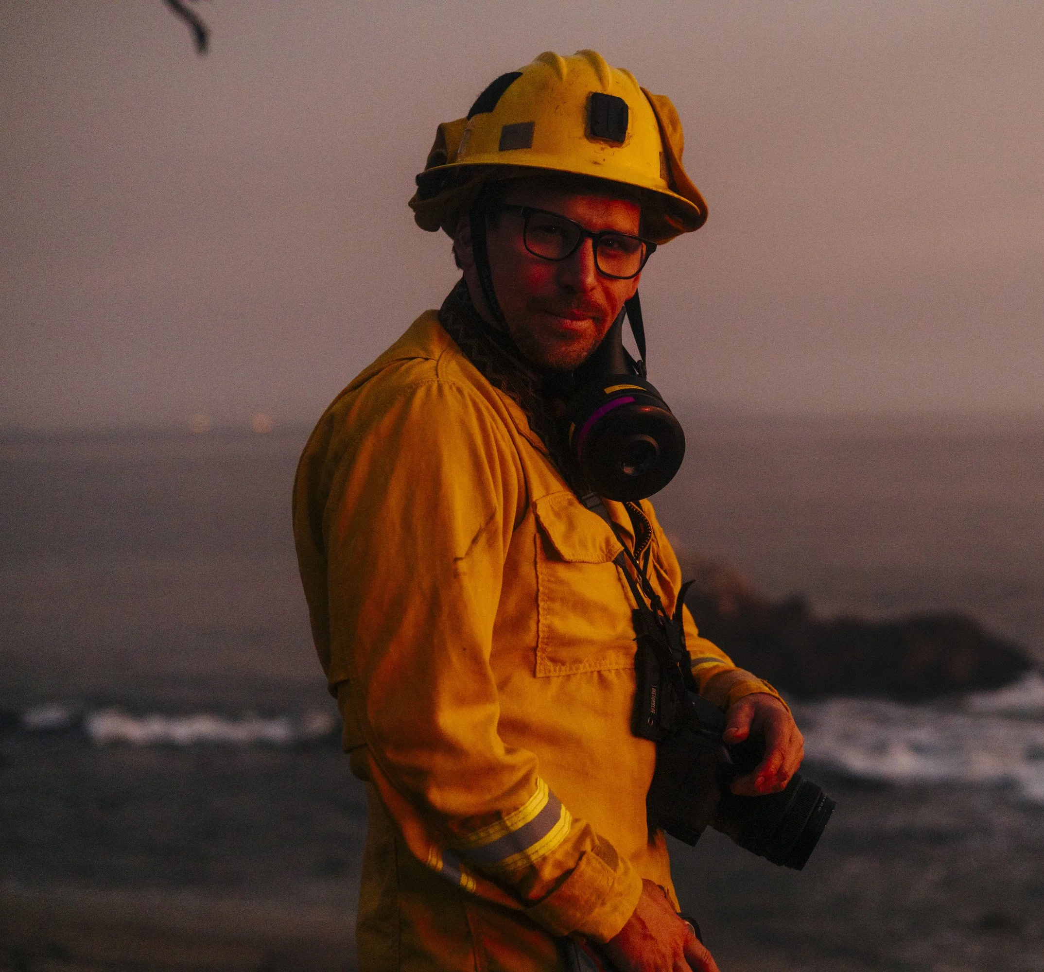
200 Wildfires. 13 Years in the Dirt.
“I've spent thirteen years photographing wildfire, and somewhere after the first 100, I had seen enough. Adjusters and insurance professionals walking burn zones without the best tools to do their jobs. No signal. No landmarks. Addresses gone, mailboxes melted, parcel lines invisible. Trying to identify and document a property from a foundation and a chimney while a family waited on the worst day of their lives for someone to tell them what happens next was a problem I saw time and time again.
The technology to fix that already exists in disparate locations. It just hasn't been built for the person standing in the ash, bringing it all together in an offline ready format that’s easy to learn and implement for IA/CAT professionals or carriers. TerraClade will also integrate with existing tools and enterprise data subscriptions as development continues based on field data.
TerraClade is offline by default, verified at capture, and designed around how field work actually happens in the dirt, dust, and sweat, from someone who has experienced the pain points first hand.” - Stuart Palley, Founder